|
Official
Name – Liraidahen Kaupèlan (Kingdom of Kaupelan)
Area
– 8,906 km²
Population
– 4,188,000 (2020)
Density
– 470 inhabitants/km²
Capital
– Purikali
Major
Cities – Purikali, 1,353 thousand inhabitants; Irnik, 412;
Bandajaya, 297; Masar, 174; Jalabara, 168.
Languages – English and Kaupelanese (both official); Wisanyo,
Haimarata, Palayanga and Terong (Kaupelanese dialects); Taumelan;
-Waimahui; Forti (Portuguese dialect); Kelo and Paro (Suduk dialects);
Moinate, Hakerehe and Atawodo.
Religion – Christians, 60%, Muslims, 20%, Buddhists,
5%, Animists, 2%.
Regime
– Parliamentary Monarchy. Parliament ("Haimauman") with 74
senators ("awayuni").
State
Ministries
– Foreign Affairs & Foreign Trade; Defense;
Finance; Culture & Tourism; Health & Sports;
Communication & Information; Education; Justice & Public
Defense; Natural Resources, Environment & Energy; Economic
Development; Social
Assistance; Science & Technology; Agriculture & Fisheries; Home
Affairs.
Currency – Kaupelanese
Huwa (KAH) divided in 100 Hiyatu.
GDP
per Capita – 44,297 huwas in 2020 (20,227 dollars, Purchase Power
Parity).
Gross
Domestic Product – 185 billion huwas in 2020 (84.7 billion dollars,
PPP): Industry (28%); Commerce (6.9%); Services (20%); Transportation
and Communication (11.4%); Financial Operations (7.8%); Building
(3.7%);
Agriculture & Fishery (1.2%); Mining (1%).
Exports
– 109.9 billion huwas (2020): IT and electronic goods;
manufactured goods, ships and ship repair; automotive products;
petroleum products; industrialized food; re-exported products.
Imports
– 93.6 billion huwas (2020): components; consumer goods; raw materials;
food; vehicles; machinery.
Labor
Force – 2.3 million workers: Industry (24.3%); Services
(50.7%);
Agriculture & Fishery (2.5%); Mining (0.3%); Government (11.1%).
Men
(51.9%) and Women (48.1%).
Mining
– oil (2 million ton/year; 42,500 barrel/day); salt.
Fishery
– 154,600 ton/year.
Agriculture
– rice (260,000 ton/year); copra; spicies (nutmeg, clove, pepper,
cinnamon); coffee; tropical fruits; cocoa; tea; beef (pork, goat,
buffalo); poultry. Cultivated area: 18% (162,000 ha).
Industry
– electronic (32.2%); manufactured (24.9%); IT
products (19.3%); food (7.9%); automotive (6.5%);
shipbuilding and ship repair (5.4%); petrochemical (1.1%)
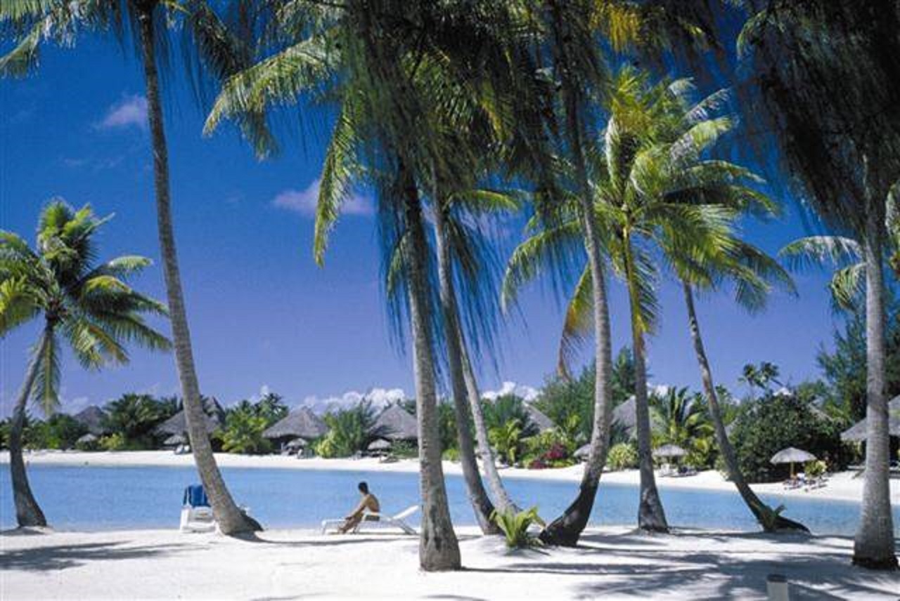
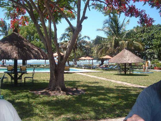
Tourism
– 3.43 million tourists (2019): China, 26%; Japan, 18%; West Europe,
15%; North America, 13%; Australia & N. Zealand, 9%.
Electrical
Energy – 3.7 GW. Thermo power plants at Palimasune, Jalabara,
Bandajaya, Beramar, Santamaria and Kurudau. Wind at Kautaira, Purawatu and Umala.
Transportation
– passenger vehicles, 1,060 thousand; airline: Makuwa
Kaupelanese Airlines (regional and international flights). Airports: Masar (international), Purikali,
Irnik, Bandajaya, Jalabara, Sanantonyo, Santakèrus and Palimaata. Ports
– Bandajaya, Purikali, Irnik, Jalabara and Palimaata.
Official
Kaupelanese Time – GMT +9:00.
Communication – Cable TV subscribers, 1,001,000; telephones, 6.2 million
(mobile, 4.7 million); TV stations: Redyo na Telwijun Kaupelan (RTK),
Telwijun Kabumala, and Bandanese
Television (BTV cable). AM radio stations: 18. FM stations: 32.
Short wave stations:1. Internet users: 3.3 million.
Newspapers
– Bandanese Post, Purikali (330 thousand papers/day); Watulis Kaupelan,
Purikali (170); Ngiye, Irnik (120); Tana, Purikali
(100); Kiwangar Post, Masar (95); Bantau Hubi, Purikali
(90); Palayanga, Palimaata (85); Kabar Bandajaya,
Bandajaya (85); Islam Post, Bandajaya (80); Purikali ni
Waidau,
Purikali (80); Leranye Wisanyo, Jalabara (70); Terong,
Lopes Gusmao (20). Official News Agency: Dahe ni Ajensi Waidau
(DAW).
Education
– basic school, 7 years (431,000 students);
medium school, 5 years (218,000). Public Universities: Royal University
of Purikali (28,000), Uniwesti Santamaria (17,000), Uniwesti Bandajaya
(16,000), Uniwesti Haima Jalabara, Uniwesti Masar (11,000), Uniwesti Santakrus, Uniwesti Palimaata (5,000), Akadèmi Yasaina
Masar (2,000); private: Uniwesti Islam Kautaira and Uniwesti
Katolik Purikali (5,500); total superior school (106,000).
Research
Centres – Teknolojik, Purikali; Ansaur na Arkyolji,
Purikali; Tasi, Masar; Bumi, Irnik; Medèsin,
Bandajaya; Byolji na Tanu, Jalabara.
Urban
Population – 89%.
Illiteracy
– 2.4%.
Total
Fertility Rate – 2.0 children/woman.
Population
Growth – 0.69%.
Population
Pyramid – 0 to 10 years (7.2% male, 7.2% female); 10 to 20 years
(7.4%
male, 7.4% female); 20 to 30 years (7.2% male, 7.4% female); 30 to 40
years (6.9% male, 7.2% female); 40 to 50 years (6.9% male, 7.2%,
female); 50 to 60 years (4.3% male, 4.8% female); 60 to 70 years (2.8%
male, 3.2% female); 70 to 80 years (5.8% male, 7.0% female)
Life
Expectance – 78 years (males); 80 years (females).
Human
Development Index – 0.886 (2020).
Origin of the Name – the name Kaupèlan
comes from the ancient name of the island of Kiwangar, Raja Kaopalan,
which means "king's nutmeg trees" in Old Kaupelanese, and through
Portuguese Caupelã.
Climate – Equatorial (monsoon); average annual
temperature: 26ºC; rains: 1.830 mm yearly (Dec/Feb: 860; Mar/May: 680; Jun/Aug: 110;
Sep/Nov: 180).
Main
Rivers and Lakes – main rivers: Mambaki, Maiha and Hubi; main
lakes: Gajawatu and Suduk.
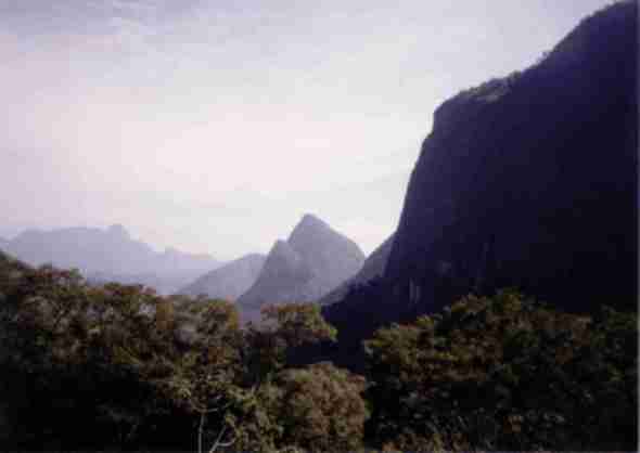
Highest
Point – Gipahu (2587m); volcanoes: Gipahu and Ra'u
Head-of-State
– Lirai Kira II Wasahi Sunu Wuru Kamak
Purajaya (since 2009).
Head-of-Government
– Wasir Lawin Peng (since 2021)
International
Organizations: UN, ASEAN, UIEMB, FICT
Defense – budget: 5.4
billion
huwa (2020)
National Anthem – Nuhu
Nina Kibèrkat ("Blessed Motherland")
|